Monday, May 20, 2013

Devil's peak in Yau Tong


Duration: 
(4.4 kilometers)
1 to 1.5 hours
Difficulty: 3/10.
Appreciation: 8/10. Nice views of the harbour from unusual angle. A quick and easy hike to nice views and old WWII bunkers.

Transportation: Yau Tong MTR exit A1, there and back.

Why it's worth it:


Garmin: http://connect.garmin.com/activity/314877376
---------------------------------------
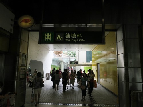
Get out at Yau Tong MTR Exit A1
Walk towards Lei Yue Mun road.


Head right on Lei Yue Mun road

Walk towards the roundabout. Cross the street and head left on Ko Chui Rd

Follow the blue signs announcing the cemetery. That's actually MacLehose section 3

About 500m of slight ascent on the road leading to the cemetery, you'll see a sign for  Maclehose.
Cross the street and climb the stairs


You will be walking around devil's peak for a while and by the cemetery.
You will have a good look of the peak on your left.

Once you get here, turn around and retrace your steps around the peak.

You can cut through the wood or keep walking and take path to the right.

Climb.

Almost at the top. WWII barracks. Devil's Peak stands at 222 metres in height. To the east of the peak lies Tseung Kwan O and Yau Tong lies to its west. The area around the peak was garrisoned by the British Army or local pirates to control the passage of Lei Yue Mun, which is an important nautical passage in South China. The remains of a redoubt and batteries are still visible on the peak.

Quite large walls.
Great views. When your done. Head back down.


Basically retrace your steps back to Yau Tong MTR


Monday, April 15, 2013

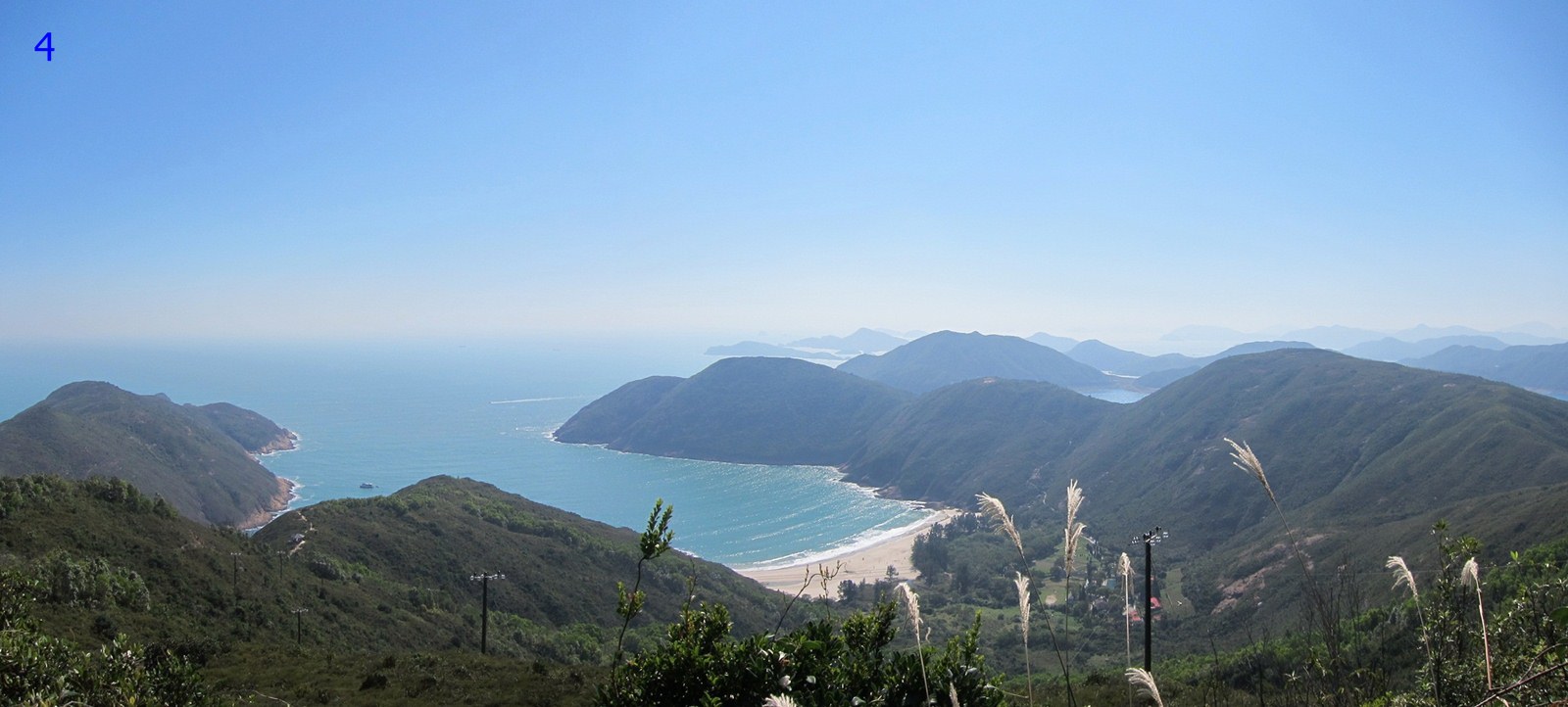
5 peaks in South-West Lautau (part of Lantau section 5)


Duration: 
(16.3 kilometers)
5 to 6 hours
Difficulty: 7/10 because there's bushwacking and is over 16k.
Appreciation: 8/10. Nice views, nice beach. 

Transportation: From MuiWo, many bus stop will get you there: 1, 11, 15, just check the HKtransportation web site. Get of at 'Sham Wat Rd. Junction'. Return on bus. Many, just at the end of the trail. 

Why it's worth it:


Garmin: http://connect.garmin.com/activity/297081225
---------------------------------------
Since this one has quite a bit of off trail, I suggest you print the map or better yet, find a way to get the  path in your smartphone (or just get a Garmin).

Monday, March 25, 2013

East Island dam coastal hike


(updated 2021-03-01) 

Duration: 
(7 kilometers)
3 hours

Cel phone coverage: None

Water needs: 2 liters. Not shaded.

Difficulty: 7/10 because there's some steep descents.
Appreciation: 10/10. Nice views, nice beach. Amazing views on part of Hong Kong Geopark.

Map & Details: 

Exercise Area: No

Transportation: From SaiKung, takes the Taxi to the East Island Dam. Stop at the blue "anchor" (High Island Reservoir Monument - 紀念碑(萬宜水庫)). Return on cab to SaiKung. About $125 cab fare one-way.

Why it's worth it:

---------------------------------------
Start at the powder-blue, anchor like thing right before the East dam.


If you trace back your steps on the road for 25 meters or so, there a set of stairs to climb.


Can get quite steep on the way down.

Follow the coast. Lots of sandstone.


Can't really get very lost if you keep following the coast. Print the Garmin map to be safe.
Nice views
You'll go by the two pebble beaches.

Back to bushwhacking after the 1st beach.

Village on the right. Go straight.


The cave option.
Pak Lap beach in sight
Pak Lap beach. There's a restaurant there.


Back on actual trails.
Sha Kiu Tau where you head back towards the reservoir road.

At reservoir road. Hail a cab from there.


Tuesday, March 12, 2013

Maclehose 1, part of 2, to Long Ke beach


Duration: 
(11 kilometers)
3 hours
Difficulty: Section one is a road, 90% flat. Really easy. Section 2 to Long Ke is about 300 meters climb. I'd say 6/10.
Appreciation: 9/10. The views of the reservoir are quite nice. Long Ke is magnicifent.

Transportation: Better go on a Sunday as the other days make transportation harder. From Diamond Hill MTR station, KMB 96R will take you directly to Tai Mong Tsai Road where you get off on the stop right after Pak Tam Chung stop. Otherwise, you can take bus 92 to Sai Kunk, then 94 to the same stop. Return by backtracking from Long Ke beach and hailing (or calling) at cab at the pavilion at the dam.

Why it's worth it:
Long Ke


Garmin: http://connect.garmin.com/activity/227983163

Monday, March 11, 2013

Hoi Ha loop (Marine park and Sai Kung West country park)


Appreciation: 6.5/10. Little bit boring. Some nice views still and a small beach. But it is so far away from everything; takes a while to get there... unless you live in Sai Kung. Note that there are boat tours that are available to you shall you decide to check out the corals that grow in the bay.

Why it's worth it: 


Duration: 
6k
50m elevation gain  (mostly flat)
Total: 2-3 hours 

Difficulty: 
3/10. 

Cel phone coverage: Everywhere. But watch-out for roaming.

Water needs: 1 liter.

Transportation: Minibus #7 from Saikung and back.

--------------------
Quite simple. Just a loop.
At the Sai Kung minibus terminus, just take #7 green minibus  which comes by about every 25-30 minutes.

After a 30 minutes ride, you'll arrive at Hoi Ha, a tiny village that does have a few restaurants. Go through the village. You will be heading right. There's only a single trail in that direction at that point.

Keep walking. Follow Wan Tsai directions.

To go towards Hoi Ha Marine Park...

... instead, go straight. From that point on, you can't really go wrong. You'll go by a first campground in about 100 meters or so. Then, about 3 km in, another one where the views are quite nice. Then you'll reach the end of the loop.
Make your way back to Hoi Ha.

Hike Hong Kong Web Site

HikeHongKOng on Facebook

Please, don't litter!

Hiking is about communion with nature. So please pickup after yourself. There's no excuse to leave plastic bags, water bottles or any rubbish on or around the trails; if you managed to bring it, you can manage to bring it back!