Showing posts with label tsuen wan. Show all posts

Sunday, March 6, 2022

Shek Lung Stream (石龍坑 ) to Tsuan Wan via Yuen Tsuen Ancient Trail

Duration:

(6.3 kilometers)
3h30m

Difficulty: 7/10 (mostly the stream part, rest is easier). 

Cel phone coverage: 100%

Water needs: 1.5 litre

Appreciation: 10/10

Transportation: Bus 234B or 53 from Tsuen Wan West MTR station (Bus terminus on top of station). Return via Tsuen Wan MTR.

Why it's worth it:


Map & Details: 


Exercise Area: No
---------------------------------------------


Get off at the Ting Kau stop. 
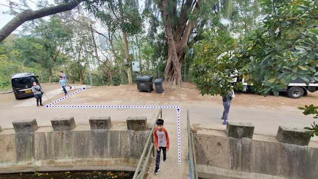
Go over the bridge behind you
Climb the little "bump" in the road, and take the road to the right...


... that road to the right...


About 15 minutes walk in, you'll see the waterfall which is the stream's entry-point

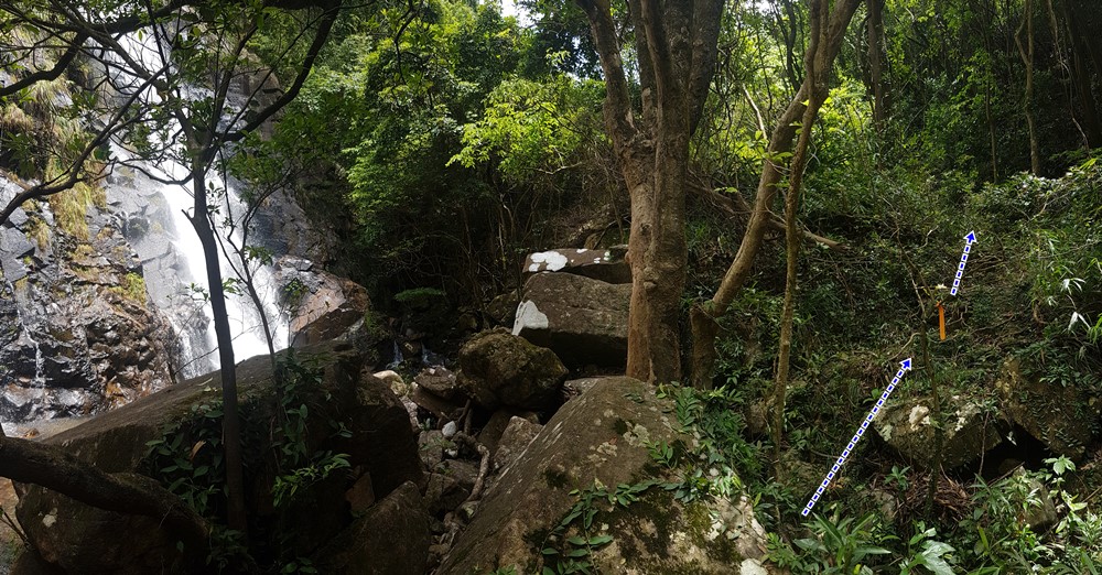
You need to cross the catch-water on the left of the waterfall, cross the waterfall, and climb-up on the right to bypass it. There's a visible footpath at the top. Then hop back in the stream

You'll reach this nice waterfall (石室瀑) and pool. Most likely will be dry-ish if it has not rained a lot.
Bypass is on the left as pictured. There's a yellow ribbon marking the bypass

The last, big waterfall is the Stone Dragon Waterfall (石龍飛瀑). Bypass is on the right.
The stream section is no more than 500m long

At the top of the bypass, you can go left to reach the top of the waterfall, snap a few pictures and come back. Head right to continue the hike.
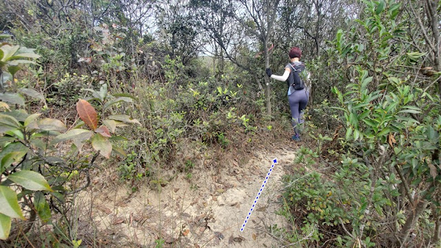
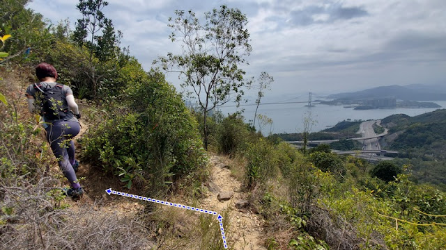
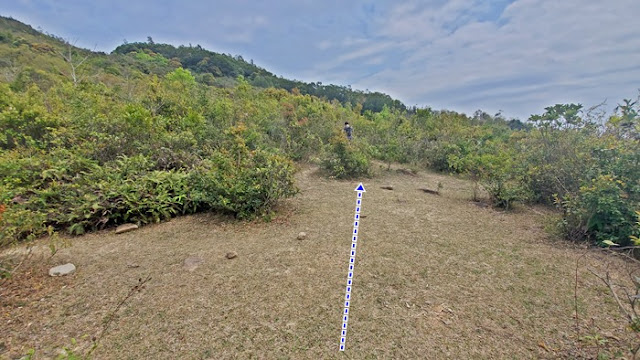
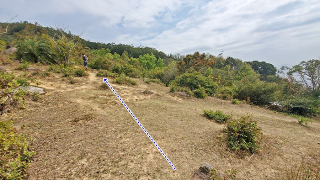
After a minute or two walk from the last fork, you will be presented with this view and you will see a path going up on your left. Take the path on your left.


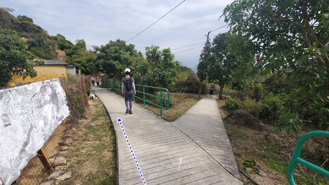
Go straight.

Slight left.

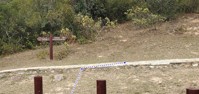
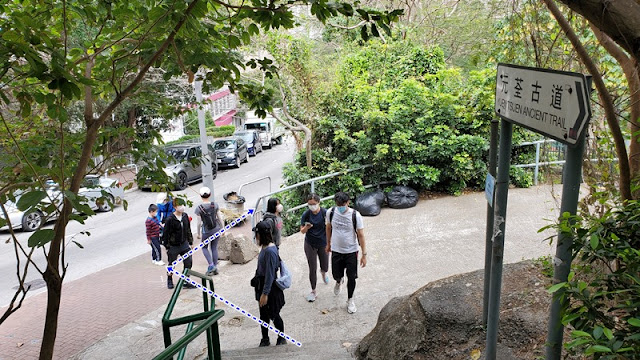
About 3.7km from the start of your hike (400m elevation), you will cross the Yuen Tsuen Ancient trail. Head right towards Tsuen Wan.

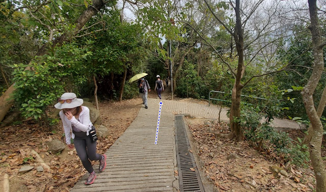
Keep right.

Left.

Straight.


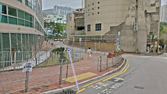
Back in town. Tsuen Wan.

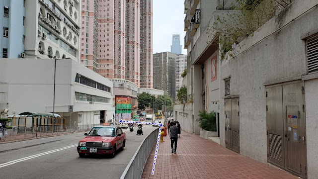
Left here, at the Adventist Hospital.

Left at D-Park and take the escalator. There's a long indoor corridor that will get you to Tsuen Wan MTR station.


Saturday, October 3, 2020

Tsuen Wan to Sham Tseng via Tin Fu Tsai

Duration:  15 km (4.5h)

Difficulty: 7/10. 545m elevation gain. Now, part of the trail is overgrown and unclear. There's some risk of getting lost as part of the trail gets less clear towards the middle of it. Better make sure that you start no later than 11am so you do not get lost when night falls.

Cel phone coverage: Everywhere

Water needs: 2 liters. 95% shaded. 

Appreciation: 7.5/10. Nice if a bit ordinary.

Exercise Area: No

Transportation:  Tsuen Wan MTR, Exit 'A'. Return via any of the many busses available at the end of the trail.

Why it's worth it:

------------------------------

Tsuen Wan, Exit 'A'

You will be following a pedestrian walkway for about 1km which follows the train track on your right. Go all the way to the end of it.

At the end, you will reach that point. go across the plaza and there is going to be an escalator...

Go down the escalator, then left. You will be on Mei Wan street

Go right on Tsuen King Circuit road. You will see the police station right in front of you.

About a 6-7 minutes walk later, you'll see On Yin street on your left, take it.

Then take a right at the end of On Yin street

After another 100m or so (right after the playground on the left), you will see a path and stairs on your left...

Take the stairs up (sign to Yuen Tsuen Ancient Trail)

Right and then go all the way up the stairs
Head right at the road at the top of the stairs. You will be walking on that road for about 3.5km


('A' on the map above) 
After 3.5km, you get here and must take a left over the little concrete bridge

('B' on the map above) 
Very soon after, you take another left, following the main path at the building

('C' on the map above) 
At the 4-way crossroads, keep straight

('D' on the map above) 
Where the concrete path stops, you continue a little bit on a dirt path and you will soon see a path to your right with a noticeable concrete block. Take that path.

You will mostly be following the catchwater on your left. Do not take any paths on the right.

You will get to this point with a concrete bridge on your left, and house on your right. 
Go left over the concrete bridge.

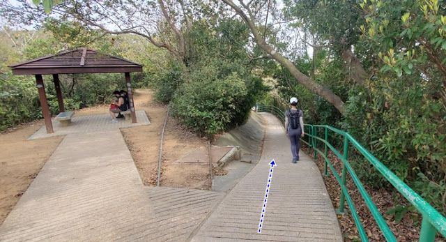
The section after the little pavilion and until the slide is a bit messy and overgrown.
Follow the concreate path, sometimes just bits of it, ribbons and directions and you should be fine. If you got the general orientation, you should be OK.


Concrete slide at the now defunct Lin Fa Shan Public School (蓮花山公立學校)

Go straight right by the slide.

Then right at the stone path (Yuen Tsuen Ancient Path)

Then right in the direction of Sheung Tong as the sign indicates.
(The road is marked as closed)

Ghost village

After a few KMs, you will reach Maclehose Trail Section 9 (there's a picnic table).
Head left onto it

About 100m after, keep going straight on Section 9

Yet another branch after another 100m or so. Keep right, still on Section 9

600m later, another intersection, take a right. That is still Mac Section 9

A short while after you pass the Tin Fu Tsai camp site. You will see a smaller path on your left, after the red PCCW communication system and the sign. Take that path.

This path will get you back to the Tsuen Yuen Ancient trail. But just for about 15m...

... as you will take an almost immediate left onto the path towards Tsing Fai Tong village


Quite easy and smooth sailing from this point on. Once past Tsing Fai Tong and its Lilli pads, you will be about 1.75km away from your final destination, Sham Tseng...


Arrived in Sham Tseng

Turn left onto Sham Hong Road, going under the car overpass

Then left on Castle Peak road where you will find a stop for tons of bus routes


Hike Hong Kong Web Site

HikeHongKOng on Facebook

Please, don't litter!

Hiking is about communion with nature. So please pickup after yourself. There's no excuse to leave plastic bags, water bottles or any rubbish on or around the trails; if you managed to bring it, you can manage to bring it back!