Duration:
(6.3 kilometers)
3h30m
Difficulty: 7/10 (mostly the stream part, rest is easier).
Cel phone coverage: 100%
Water needs: 1.5 litre
Transportation: Bus 234B or 53 from Tsuen Wan West MTR station (Bus terminus on top of station). Return via Tsuen Wan MTR.
Why it's worth it:


Map & Details:


Exercise Area: No
---------------------------------------------
 |
| Get off at the Ting Kau stop. |
 |
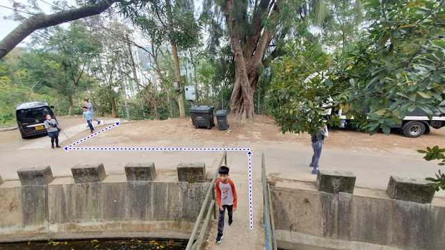
| Go over the bridge behind you |
 |
| Climb the little "bump" in the road, and take the road to the right... |
 |
| ... that road to the right... |


 |
| About 15 minutes walk in, you'll see the waterfall which is the stream's entry-point |
 |
| You need to cross the catch-water on the left of the waterfall, cross the waterfall, and climb-up on the right to bypass it. There's a visible footpath at the top. Then hop back in the stream |
 |
You'll reach this nice waterfall (石室瀑) and pool. Most likely will be dry-ish if it has not rained a lot. Bypass is on the left as pictured. There's a yellow ribbon marking the bypass |
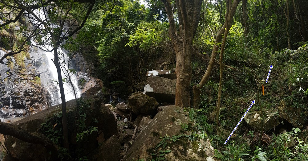 |
| The last, big waterfall is the Stone Dragon Waterfall (石龍飛瀑). Bypass is on the right. The stream section is no more than 500m long |
 |
| At the top of the bypass, you can go left to reach the top of the waterfall, snap a few pictures and come back. Head right to continue the hike. |
 |
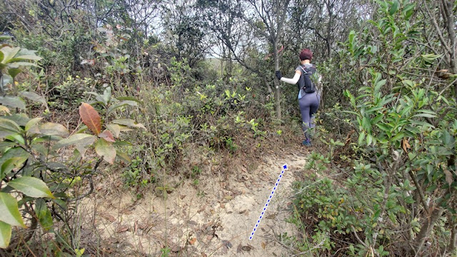
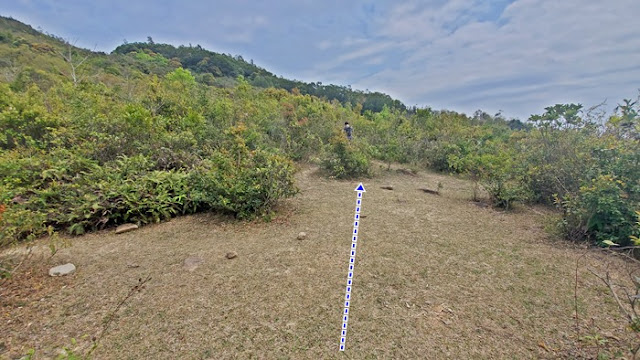
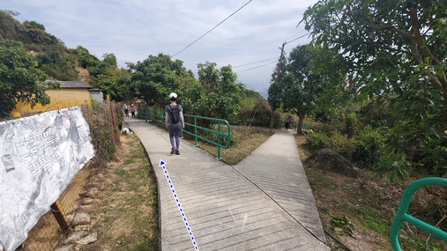
| After a minute or two walk from the last fork, you will be presented with this view and you will see a path going up on your left. Take the path on your left. |
 |
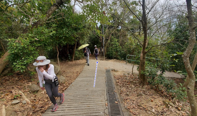
| Go straight. |
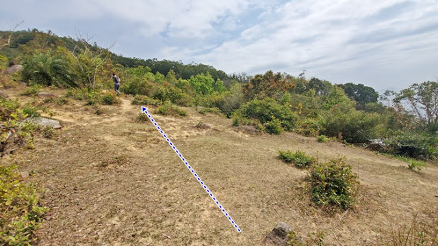 |
| Slight left. |
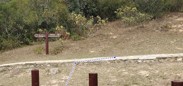 |
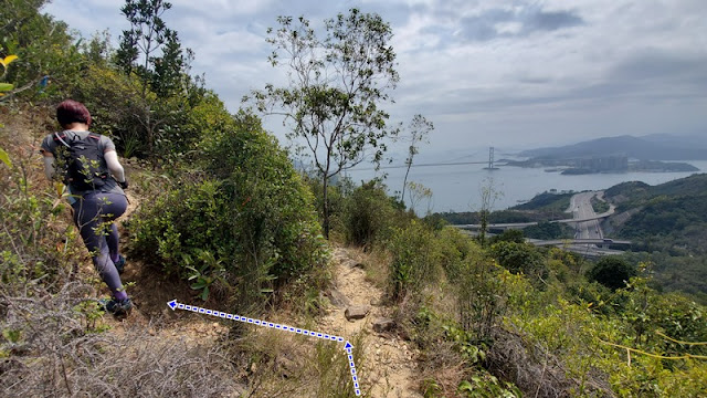
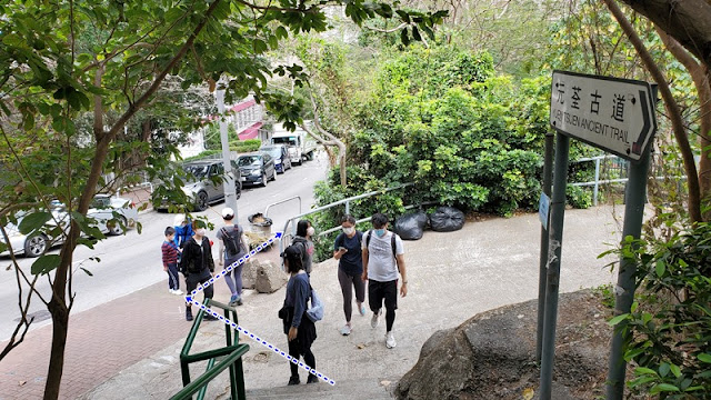
| About 3.7km from the start of your hike (400m elevation), you will cross the Yuen Tsuen Ancient trail. Head right towards Tsuen Wan. |
 |
| Keep right. |
 |
| Left. |
 |
| Straight. |
 |
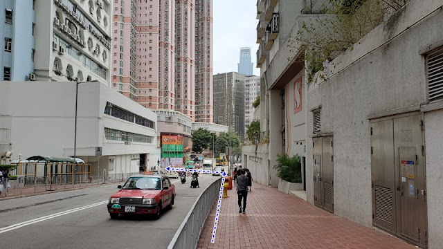
| Back in town. Tsuen Wan. |
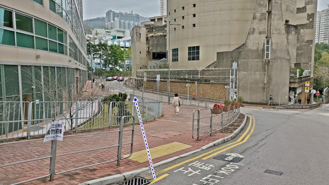 |
| Left here, at the Adventist Hospital. |
 |
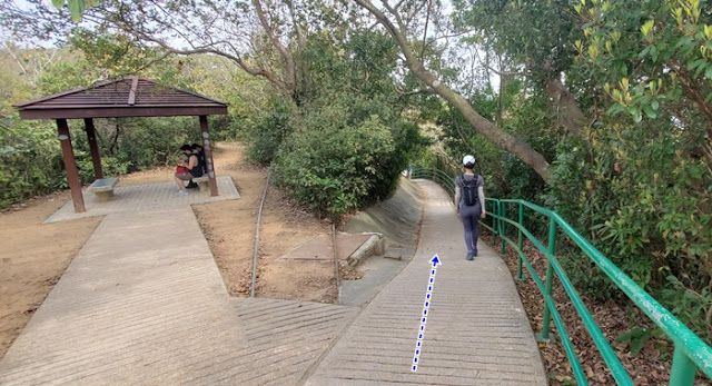
| Left at D-Park and take the escalator. There's a long indoor corridor that will get you to Tsuen Wan MTR station. |

