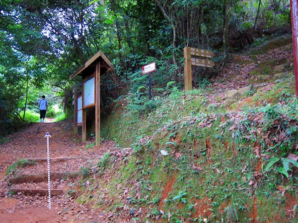
Duration:
8km (3 hours).
Difficulty:
8/10. 525m elevation gain. Some steep climbs and slippery descents.
Cel phone coverage: Everywhere.
Water needs: 1 liter.
Appreciation: 8/10. Nice views from the top of Mount Parker
Map & Details: https://www.mapmyhike.com/workout/3242644246
Exercise Area: Yes. 3 areas along the way.
Transportation: Tai Koo MTR, Exit 'B'
Why it's worth it:


Why it's worth it:


---------------------------------------
 |
| Exit 'B' (Kornhill) from Taikoo MTR station |
 |
| Head left (West) on King's Road as you come out of the station. You will be walking on King's Road for about 120m until you reach Greig Road |
 |
| Turn left on Greig road. |
 |
| Keep going straight on Greig Road, for about 400m... |
 |
| Until you reach the colorful 'Buddhist Chung Wah Kornhill Primary School' on your left. You will sign signage on your right for Wilson Trail and for Quarry Bay Tree Walk. Follow the signs and head right. The path goes around and down a bit... |
 |
| .. going under this small tunnel. |
 |
| Go up the stairs and just follow the main path |

 |
| Just a few minutes after having passed the Tao Tam Country Park sign. You'll get to this fork. Head left. (Note that you will be looping back here later, arriving from the path on the right) |
 |
| Stay on the main path for 15-20 minutes, until you reach this point where there's a Mount Parker Sign, a path going up, one going up then left, and the main path continuing on the right. There's also a sign warning about taking the path that goes straight up. Taker the path that goes left. |
 |
| You'll know just a few seconds later that you are on the right path when you see a fence on your left and an opening with a view over Taikoo. Keep going |
 |
| A few minutes walk later, another fork, take a right. |

 |
 About 10-15 minutes walk from the last fork, you'll reach this point (you'll pass stairs on your right which you won't take) where there's white ribbons. The path goes up. Take that path. (Thanks to Mario for the update) |

 |
| This section, climbing all the way to Mount Parker Road, is the steepest ascent. The path is quite clearly demarcated, with a lot of ribbons. The climb to the road is 30-45 minutes long. |
 |
| Interesting rock formations. One of them is supposed to look like an old man... |


 |
| You are getting closer. Mount Parker Road goes along the two radar stations. |
 |
| Take a left at the road. |

 |
| Arriving at the West-most station, you'll see stairs on the left, take them. |

 |
| Go all the way around the station and you'll see a ribbon with the number 46 and a path beyond it. That's where you need to climb over the fence and follow the path. Mount Parker's peak is about 10-15 minutes away. |
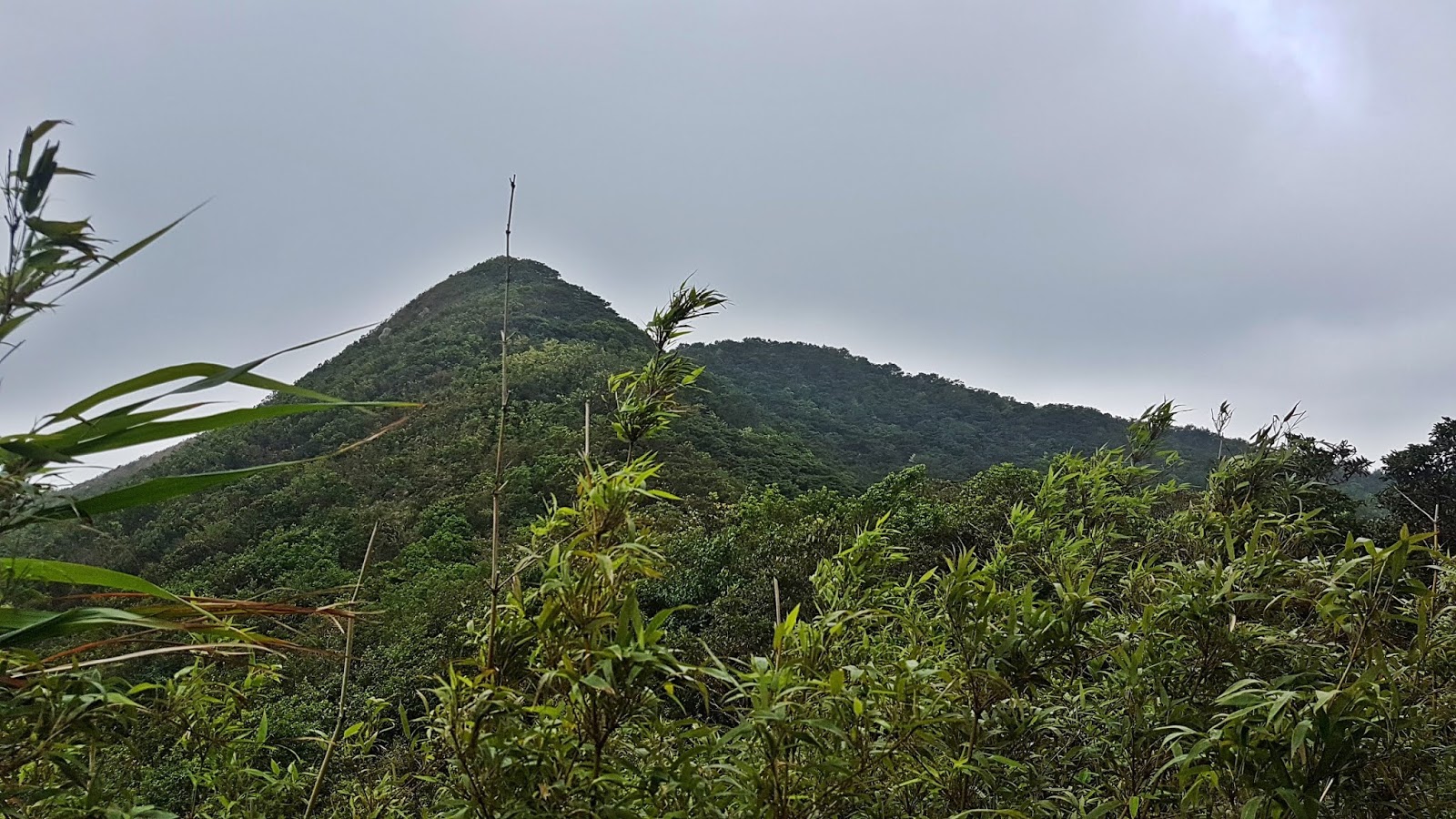 |
| Mount Parker's peak at a distance |
 |
| There you go, you made it! That's Mount Parker's peak. It is all downhill from this point-on. However, it is slippery |


 |
| Follow the ribbon with number 46 on it |

 |
| Another 15-25 minutes after the peak, you will re-connect with Mount Parker Road. Head left. |
 |
| You will reach the Quarry Gap Pavillion a couple of minutes later. Head right, following Mount Parker Road for about 15-20 minutes |

 |
| Head right onto Hong Pak Country Trail |
 |
| You will reach this place which has remains of war-time stoves. Go straight, through the stove field, then down the path. For more info: https://gwulo.com/Wartime-Stoves-above-Quarry-Bay |
 |
| Path does not have a fork until this point where you go left. |

 |
| And finally, you end-up back here, having completed the loop. Head left. The rest is just retracing your steps on the path you have covered earlier, all the way to the Taikoo MTR station. |