Duration:
10k, 4 hours
Difficulty:
7/10. 635m elevation gain.
Cel phone coverage: Very sparse.
Water needs: 1.5 liter.
Appreciation: 10/10. Nice forested hike, tons of waterfalls, views from Tai Mo Shan.
Transportation: MTR to Tai Wo, exit A. Bus 64K. Return to Tsuan Wan MTR via minibus 82
Why it's worth it:
--------------------------------
 |
| Take Exit 'A' (Tai Wo Plaza) out of the Tai Wo MTR station. Head left. |
 |
| There will be a set of escalators on your right, leading to the bus stops. |
 |
| The KMB 64k stop is on the other side of the first road lane. Don't go all the way on the other side because you'd take the 64k to Tai Po Market. |
 |
| Yeah, that one... |
 |
| The bus stops just in front of the Ng Tung Chai road (the stop is actually called Ng Tung Chai so, you can't miss it) |
 |
| Keep following the road, don't be tempted to stray. You'll be walking on that road to Ng Tung Chai for about 10-15 minutes. |
 |
| When you are in the vicinity of Ng Tung Chai, you will see a path heading up (to the right). Take it. |
 |
| Go by the front of the house of barky dogs. |
 |
| Go straight to the rock-paved path. This will lead you to the temple. About 20 minutes walk there. |
 |
At the temple, keep going straight. The trail officially starts there.
|
|
Don't take the Scatter Fall path. There signage announcing the falls so you can't miss them.
The bottom fall is about 35-40 minutes in.
|
|
 |
| Bottom fall |
 |
| Middle fall |
 |
Main fall. The tallest in Hong Kong at 35m. Once done contemplating, take the path up and to the left of the falls.
After some scrambling, you'll come to Scatter falls. |
 |
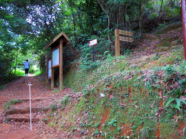
About 4.3km into your hike, you'll reach this fork. On the right, you would loop back to temple.
Take left towards Tai Mo Shan where the fun is!
|
 |
| Bamboo forest... nice! |
 |
| Walk another 200m, you'll reach another fork. Take the path on the left |
 |
You have reached the highest point of your hike.
Not quite the top of Tai Mo Shan, which you can see on your right, but still..
|
 |
| Once rested, find the unmarked path down the mountain, pretty much across from the path you came from. It may be a bit overgrown but don't worry, that's the right way. There should be some colored ribbons along the way |
 |
Right at the fork. You'll cross a stream just a few tens of meters farther. Head left after the stream.
I won't point them out here because they are not super obvious and don't want you to get lost, but there are quite a few more waterfalls that can be reached from that path (refer to the Tai Shing stream trek)
|
 |
| Head right at the gate. Left will also get you there but my hiking party was a bit tired at this point. |
 |
| Down, around, and right |
 |
| Down left, and then through the picnic area. |
 |
| Down the stairs, head right. Over the bridge, then right again |
|
 |
| That's it, minibus stop which will bring you back to Tsuen Wan |
|