Showing posts with label lantau trail. Show all posts

Sunday, November 20, 2016

Pak Kung Au to Mui wo via Lantau trail (Sunset Peak - Tai Tung Shan - 大東山)

(Updated 2020/02/08)
Duration: 
4 hours (10 km)
Difficulty: 7/10

Cel phone coverage: Everywhere
Water needs: 2 liters

Toilets: At the beginning on the trail, and 2km before the end.

Appreciation: 10/10. If you go in November, you'll be in prime silver grass season, which is quite nice. Views are also superb.

Transportation: Bus 3M,11,11A,23 from Tung Chung MTR. Get there early because it gets very busy. Or, get 3M from Mui Wo which won't be crowded. Return via ferry in Mui Wo.


Why it's worth it:
-----------------
Tung Chung MTR, exit B. Go to the left of the mall. The bus terminus are on the right after the mall.
Very crowded on weekends. 3M is usually less crowded. Let the driver know you are going to Pak Kung Au before paying; it is a sectional fare.


Get off at Pak Kung Au. Walk in the direction the bus was going for about 50m. Take the first path going up on your left (then left).

Go towards Sunset Peak. Rest is just a matter of following the trail. No way to get lost; it is Lantau trail all the way to Mui Wo. You can make a little detour up to the top of Sunset Peak if it is not overcast.

Sunday, October 13, 2013

Lantau Section 7-8

Duration: 
(11.11 kilometers)
3.5 hours

Difficulty: 4/10. For distance and slight elevation gain.

Appreciation: 8/10. A nice, easy trail with some nice views. First half is shaded but second one is not so, might be good to start the trail early afternoon.

Transportation: Take bus route 1 at Mui Wo Bus Terminal; or take bus route 11 in Tung Chung all the way to Tai-O. Take bus route 1 to Mui Wo Ferry Pier, or take bus route 11,23 to Tung Chung. Please note that bus 11 is almost always packed and you may not be able to board for a while.

Why it's worth it:


Garmin: http://connect.garmin.com/activity/389272628

---------------------------------------
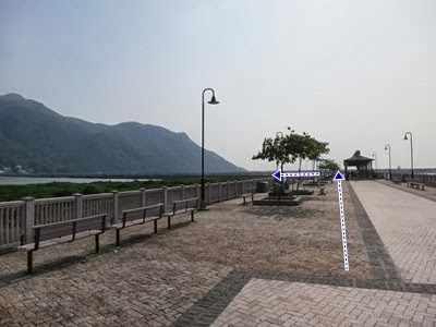
Right by the bus terminal, walk on the bridge and take a left.

You will walk towards the village. There's often nice wildlife in the mangrove.

At the village.


About 35 minutes in.

About 50 minutes and 3.5km in, you may get to this dirt road. I say may because this was a construction area which hopefully will be fixed back into the proper Lantau trail eventually.

Anyhow, make sure not to get lost. There is a small path going through the construction site. On the left.

Beaches aplenty


Follow the signage towards Shek-Pik


Follow Shek-Pik (reservoir)

Just before the the end of section 7, you'll reached this paved road. It will be paved road from this point on and to the end.

A waterfall along the way. Eventually, you'll reach the end of Section 8, there are toilets there and the bus stops.

Lantau Section 4-5-6

Duration: 
(12.75 kilometers)
4 hours

Difficulty: 6.5/10. For distance and elevation gain.

Appreciation: 9/10 if you have never been to Ngong Ping and Tai-O. 5/10 otherwise as a large portion of the trail is on the road.

Transportation: Take bus route 2 at Mui Wo Bus Terminal; or take bus route 23 in Tung Chung. Return from Tai-O's bus terminal. Take bus route 1 to Mui Wo Ferry Pier; or take bus route 11 to Tung Chung. On weekends, the bus lines get quite long.

Why it's worth it:


Garmin: http://connect.garmin.com/activity/372393540


---------------------------------------

You'll arrive at the main Ngong Ping gate. Just go through...


If you've never seen the big Buddha, why not take a moment to climd, enjoy the view, then go back down to the temple for some tea.


Follow the indications to the wisdom path.


You will arrive here. Right at the end of Lantau Section 3...

... with the wisdom path which you may take a bit of time to visit if you have never done so.

Section 4 is actually behind the railing and the sign, when you are ready.

Section 4 is quite trivial. But it does give a good overview of the whole Ngnon Ping site.


Back to Ngong Ping.

Go through the village and to the bus stop, then on Ngonn Ping Road, heading right.

Ngong Ping Road. Not the most interesting part of the trek.


You''ll arrive at the start of Section 5. Going towards Man Cheung Po.

Long after, you will go past the abandon pavilion. Quite nice.


Ending up in Tai-O. If you've never visited Tai-O and it is not too late at night, have a look. Quite a special place.

Lantau Section 3

Duration: 
(5.4 kilometers)
2.5 to 3 hours

Difficulty: 7/10. 550m elevation gain.

Appreciation: 9/10. 

Transportation: From Tung Chung, take bus route 3 (Sectional fare), 3M, 11, 23 and get off at Tung Chung Rd/Pak Kung Au. Return from Ngong Ping: Walk through the archway and tea garden and reach the Ngong Ping bus terminal. Take bus route 2 to Mui Wo Ferry Pier; or take bus route 23 to Tung Chung

Why it's worth it:


Garmin: http://connect.garmin.com/activity/325033124


---------------------------------------

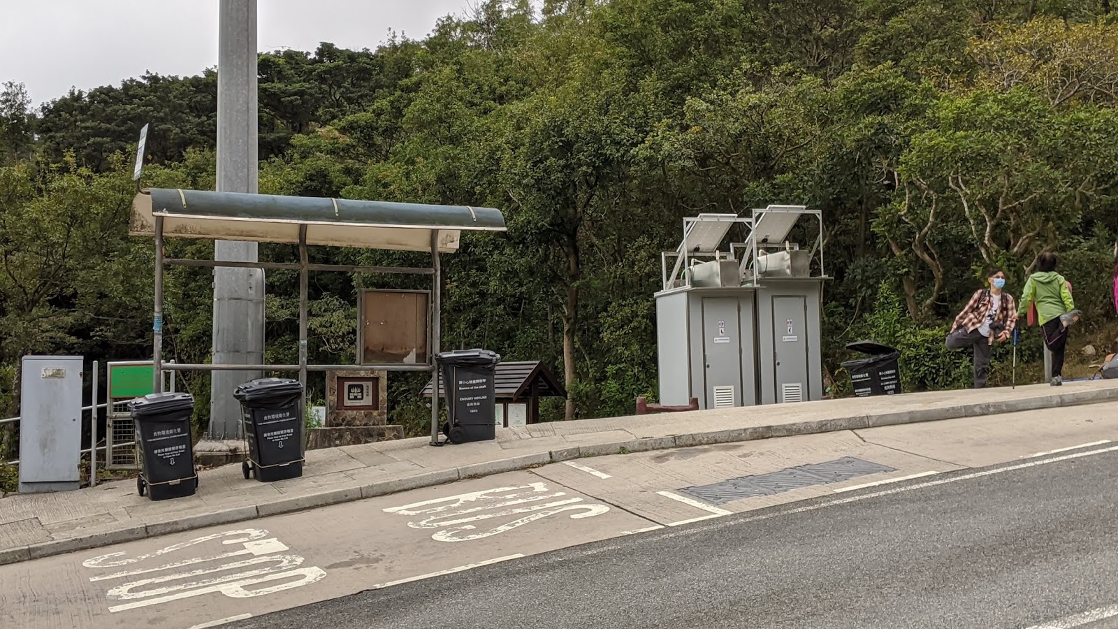
The bus stop where you have to get off. (Pak Kung Au). Don't miss it.

Get to the starting point and climb the stairs on the right. The rest is all well marked.

Have fun!

Hike Hong Kong Web Site

HikeHongKOng on Facebook

Please, don't litter!

Hiking is about communion with nature. So please pickup after yourself. There's no excuse to leave plastic bags, water bottles or any rubbish on or around the trails; if you managed to bring it, you can manage to bring it back!