Duration:
9.5km return (3.5 hours). About 5k return if you take the minibus.
Difficulty:
2/10 => 7/10=> 10/10. 455m elevation. The first 50-60 minutes is on sidewalks and asphalt road; very easy (2/10). Then, quite a few steps up to Kowloon peak (7/10); not dangerous, just a lot of steps. Last bit, to Suicide Cliff is not very technically difficult, but it is dangerous in the sense that if you slip and fall, fatality is an almost certainty. So, if you are afraid of heights, don't go. If you do go, be careful. You will not get a better view from Suicide Cliff than you get from Kowloon Peak, so, the good thing about my route is that you don't have to go all the way, just stop wherever you feel comfortable.
Cel phone coverage: Everywhere.
Water needs: 1.5 liter.
Appreciation: 10/10. Awesome, iconic views.
Map & Details: https://www.mapmyhike.com/workout/3222255526/
Exercise Area: No.
Transportation: Choi Hung MTR, Exit 'B'
Why it's worth it:


Transportation: Choi Hung MTR, Exit 'B'
Why it's worth it:


--------------------------------------------------
 |
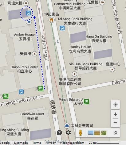
| Make your way to CHoi Hung MTR station, Exit 'B', head left right out of the exit and walk along Clear Water Bay Road |

 |
| After about 250m, take a right onto Clear Water Bay Road (the road going straight becomes 'New Clear Water Bay Road') |
 |
| Keep going straight on the same road for about another 1.4km... |
 |
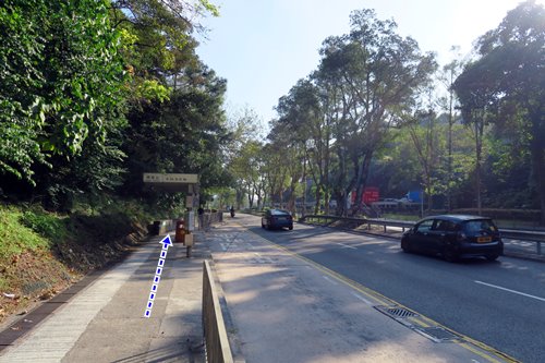
| ... then you will reach this fork. Head left on Fei Ngo Shan Road. This is also where the minibus would drop you off if you had taken the minibus at Choi Hung MTR |
 |
| You will need to stay on Fei Ngo Shan Rd all the way to the path to Kowloon Peak. That's about a 25-35 minutes walk. |

 |
| When you see the Ma On Shan Country Park sign, you are not very far, keep right on Fei Ngo Shan Rd |
 |
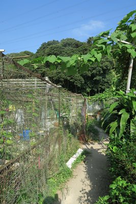
| Keep an eye out on your left where you will see steps going up where the road does a 90 degree turn to the right. There are two set of steps, take the one on the right |
 |
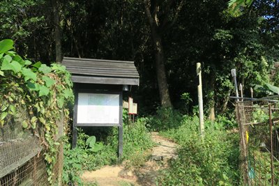
| There's a sign that tells you it is dangerous. It actually isn't dangerous at all to go all the way up to Kowloon Peak. |

 |
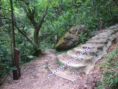
| That's pretty much the kind of steps you'll be climbing all the way up. |

 |
| Summit is in sight |
 |
| At the fork, head left |

 |
| Kowloon Peak summit marker! |
 |
| Keep following the path. Seems like it is a dead-end but it isn't. However, once you are at the point where the hikers are on the pictures, you have to decide whether you feel confident about continuing. As I wrote earlier, you won't get a better view going down. |
 |
| If you decide to keep going towards Suicide Cliff, it is just about 50-75m down. Be careful about loose rocks. |
 |
| You can't miss Suicide Cliff, on your right. There's a clear path going there, where a huge piece of rock is jolting out of the mountain face. Once you are done , just retrace your steps all the way back to Choi Hung MTR. I would advise against going straight down the shortcut, which is quite steep. |