|
| Our hike, as recorded by my Amazfit Stratos |
As you can see, this is a departure from my "Hong Kong only" hikes. But this was an experience of a lifetime that I thought you'd like to read about. Hopefully, the photos will give you the boost to go and do the Inca Trail for yourself. It was spectacular!
The Inca Trail is a UNESCO-protected trail and so is Machu Picchu. The only way to hike the trail is with a certified tour company which will get the admission tickets to the trail for you. Only 500 people a day are allowed on the trail, and that includes the porters. There are various outfits that will guide you through this adventure, from the "carry your own stuff, no shower" to a white-glove meal service experience. My wife's requirements were for a hot-shower every day, and 'no sleeping on the floor'. We picked ViewPeru which was highly recommended on TripAdvisor, and we didn't regret it; fantastic service, friendly people, great food and good nights of solid sleep!
The "classic Inca Trail" is usually done in 4 days (although experienced hikers can do it in 3. Myself and May certainly felt like we could have): it is 45km long and takes you from 2500m altitude at Ollantaytambo to a maximum of 4,200m at Abra Warmihuañusca (Dead Woman’s pass). If you are a frequent mountain hiker, the Inca Trail is not terribly physically difficult. However, altitude will affect you and you will need at least 3 days to acclimate in Cusco. Even with that and the fact that I was probably the most prepared for the hike, I suffered from altitude sickness which, for me, took the form of apnea (I would skip every 4th breath, which made me feel as if I were drowning, and woke me up at night. It only abated when I returned to Lima). The rest of the team mostly had shortness of breath, which is expected for people normally living at sea-level.
 |
| We are getting ready to go at KM82 in Ollantaytambo. That's our guide Tina on the right in purple. You can see the six of us in the back.And all of the peeps in gray are our porters. 20 of them in total! No mule nor horses allowed on the Inca Trail. |
 |
| KM82, Ollantaytambo |
 |
| The happy-six, at the beginning of the Inca-Trail |
 |
And here we go!
(Bridge over the Urubamba river)
|
 |
| Our porters, quickly passing us on the trail. The can carry up to 25kg of material on their back |
 |
| Patallacta, where the Urubamba continues to the right, but we go down and to the left, following the Kusichaca stream |
 |
| Day 1 lunch time |
 |
| Porters would greet us at our arrival. Nice touch |
 |
| Dining tent |
 |
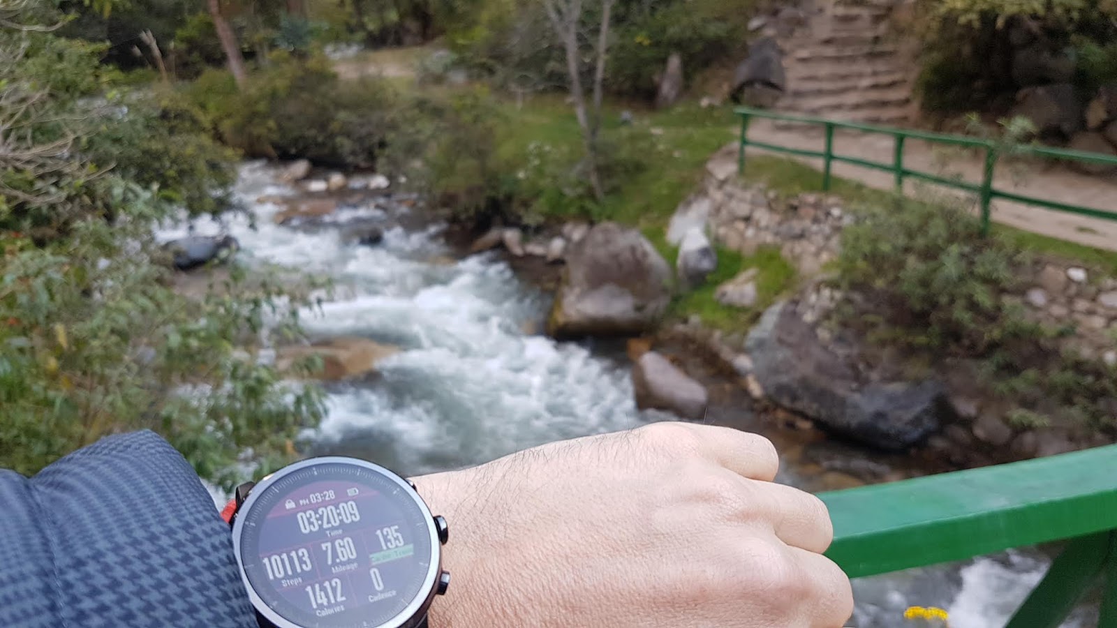
The guys at Amazfit sent me a Stratos just in time for our trip to Peru (thanks guys). I was impressed that on a single charge, I was able to record 3 days worth of hiking with the GPS on. Overall, quite happy with it, and it is 5ATM waterproof.
Check it out https://us.amazfit.com/shop/stratos?variant=373265 |
 |
| Camp for the first night, at Huayllabamba |
 |
| The "matrimonial bed" as the ViewPeru organizer would refer to our accommodations |
 |
| Recap of Day 1 |
 |
| Day two, climbing our way towards Dead Woman's Pass |
 |
| What is also impressive on the Inca trail is all the various and very different ecosystems we went through; from dry, near-desert, to lush Amazonian forests... |
 |
| Last stretch to Dead Woman's Pass |
 |
| Looking back at the trail, from Dead Woman's Pass |
 |
| The team at Dead Woman's Pass, 4,200m altitude |
 |
| Then going down towards the camp site for the second night... |
 |
| Camp site at Pacaymayo, 3630m altitude. With a waterfall visible in the distance which would be the background music for a good night of sleep. |
 |
| Recap of day 2 |
 |
| View from the Runkuracay ruins (Egg Hut). 3800m. About halfway up the climb to the second pass, it overlooks the Pacamayo valley with a superb view back to the first pass, Warmiwañusca (Dead woman's Pass), which is the 'V' section visible in the top-middle portion of the picture above. |
 |
| Qochapata as viewed from the second pass at 3950m |
 |
| The ruins of Sayaqmarca at a distance |
 |
| Climbing to Sayaqmarca |
 |
Sayaqmarca, the 'Inaccessible Town', lies at 3,600m of altitude. Sayaqmarca has a solar observation post and a residential half. An ingenious system of canalization brought the precious water from a bridged river to all parts of the ruin.
|
 |
| View from Sayaqmarca |
 |
| View from our camp site on day 3: Phuyupatamarca |
 |
| Us and the team. There was one or two porters missing for the picture I think |
 |
| Puyupatamarca ruins. A 10 minutes walk down from the camp site |
 |
| Grazing llamas! |
 |
| Day 3 recap |
 |
| Very early rise (4:30am), breakfast, then we go! |
 |
The triangular mountain in the middle of the picture above is the Machu Picchu.
The ruins are on the other side of the mountain. We shall be walking all the way there today!
|
 |
| Getting closer. Machu Picchu in the center of the picture above |
 |
| Wiñay Wayna |
 |
| The Urubamba river |
 |
| The so-called "Gringo's Killer". 50 steep steps. No gringos were killed during the taking of this picture |
 |
And then, suddenly, we arrive at Intipunku, the Sun Gate!
And we are graced with... |
 |
| … our first view of the Machu Picchu ruins. Grandiose! Breathtaking! |
 |
| Making our way to the site |
 |
| Llamas aplenty! |
 |
| The obligatory post-card picture of the site. The taller mountain right behind is Wayna Picchu, which we would climb the following day |
 |
| "Uh!?" |
 |
| Lying down, and grazing! Very efficient those llamas! |
 |
| Climbing the infamous Wayna Picchu! |
 |
| Very, very steep. Note that this is entirely optional; one can go to Machu Picchu and not climb Wayna Picchu |
 |
| Dan, making it look easy! |
 |
| Yep. And 700m down, that's the Urubamba river... A long way down! |
 |
| The Inca Trail team short one... |
 |
| Machu Picchu mountain, and the ruins, as seen from the top of Wayna Picchu |
 |
| May and I decided to hike down to Aguas Calientes. Quite a nice lively little town on the Urubamba river |
An amazing trip, great hike, memorable people and moments...
 It's been a little while in the making but now ready for your downloading pleasure; our very own Hike Hong Kong app.

 . The middle icon
 will show only the list of hikes you have 'liked' (Loved?). While the right-most icon
 will bring you to the map where all the hikes can be found.