Duration:
(17 kilometers)
7 hours
7 hours
Difficulty: 9/10. First 2km are really steep, will often require your hands. Paths down are often slippery. Not good if you are afraid of heights. Long hike
Cel phone coverage: Most of the trail.
Water needs: 2 liters
Transportation: Easy access. Wu Kai Sha MTR, then return via Wong Tai Sin MTR
Why it's worth it:
---------------------------------------
 |
| Make your way to the Wu Kai Sha MTR. Exit towards the LakeSilver escalators. Head left through the bus terminus. You should end up on Sha On Street... |
 |
| Cross the street and head right. |
 |
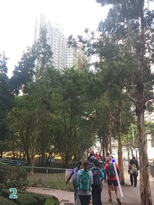
| Walk along the road to your right and green-space on your left... |
 |
| Until you reach this point where there's a path on the left going through the green-space. Take the path. |
 |
| Follow the path all the way through the green-space and underneath the highway overpass. Right after the overpass, hear left on the path. |
 |
| You'll be walking a few meters on that path until you see a water drainage trench on your right. This is where the "trail" proper starts. Go up on the right of the trench. |
 |
| Maybe 10-15 meters in, you'll see an actual beaten path on the right. This is where the fun begins. Take that path and start scrambling up. |
 |
| You'll eventually reach this crossroad, take the path on the right. |
 |
| Another crossroad. Go straight |
 |
| You will essentially be climbing the dorsal fin of the mountain |
 |
| At times, there'd isn't much between you and a steep drop. But the views are amazing |
 |
| View of the first peak, Ngau Ngak Shan, from the second one, Ma On Shan.Keep following the trail until you reach section 4 of Maclehose. Then go South on Maclehose 4 and keep following it. |
 |
| Here, straight ahead. Still on Mac 4. About halfway through I would say. |
 |
| Road towards Shatin pass. At Shatin pass, you can replenish but you only have about 40 more minutes to Wong Tai Sin. Just keep going down the road. |


