Duration:
(3 kilometers)
45min
Difficulty: 2/10 76m max elevation.
Cel phone coverage: 100%
Water needs: 0.5 litre
Transportation: Tung Chung MTR, exit 'B'
Why it's worth it:

Exercise Area: No
---------------------------------------------
 |
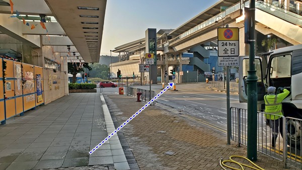
| Tung Chung MTR Exit 'B' |

 |
| Go through the park |
 |
| Take the pedestrian overpass, then walk along the road to the bridge leading to the airport. |
 |
| Theer will be stairs on your right shortly after the bridge with a big green sign announcing the way to 'Scenic Hill' |
